New Mexico ADV loop - Day 7
BikeBoy October 21, 2026Socorro looks very very well washed this morning! Huevos Rancheros at Sophia’s, conveniently across the street from the hotel; they must make their own tortillas, they’re exceptionally good.
We headed south and picked up a little road that in theory connected to the Quebradas Back Country Byway, recommended by Anna from her explorations earlier in the week. It was hard to pick out the byway on our maps, so we probably turned too early… and should have stopped at the Owl tavern! But on we went, the road getting wetter and making us nervous, until we turned up a trail and things got drier.
Eventually we connected to the byway proper, and the going was very good! The route passes through a big OHV area that has loads of trails of all sorts. We came out the end, and the map indicated we could go all the way up to Hwy 60 on dirt roads, so we started out that way and it was a really good road, swooping around on a ridge line. But then it dropped off into flatter and thus wetter terrain, including a whopper mud bog that almost ate us both. I made it through, just, and Will bailed out into firmer ground and had to recover to the road. And shortly after, the map sent us onto a road that didn’t even exist anymore! There seemed to be a road that almost paralleled it, at least for a few hundred yards, so I scouted it; there were a few slippery wet patches but I was doing fine until I came to a long fence line and signs saying “keep out, national wildlife preserve”! So my map not only had an obsolete WSMR road that’s effectively disappeared, but also didn’t include the large and impassable Sevilleta wildlife refuge!
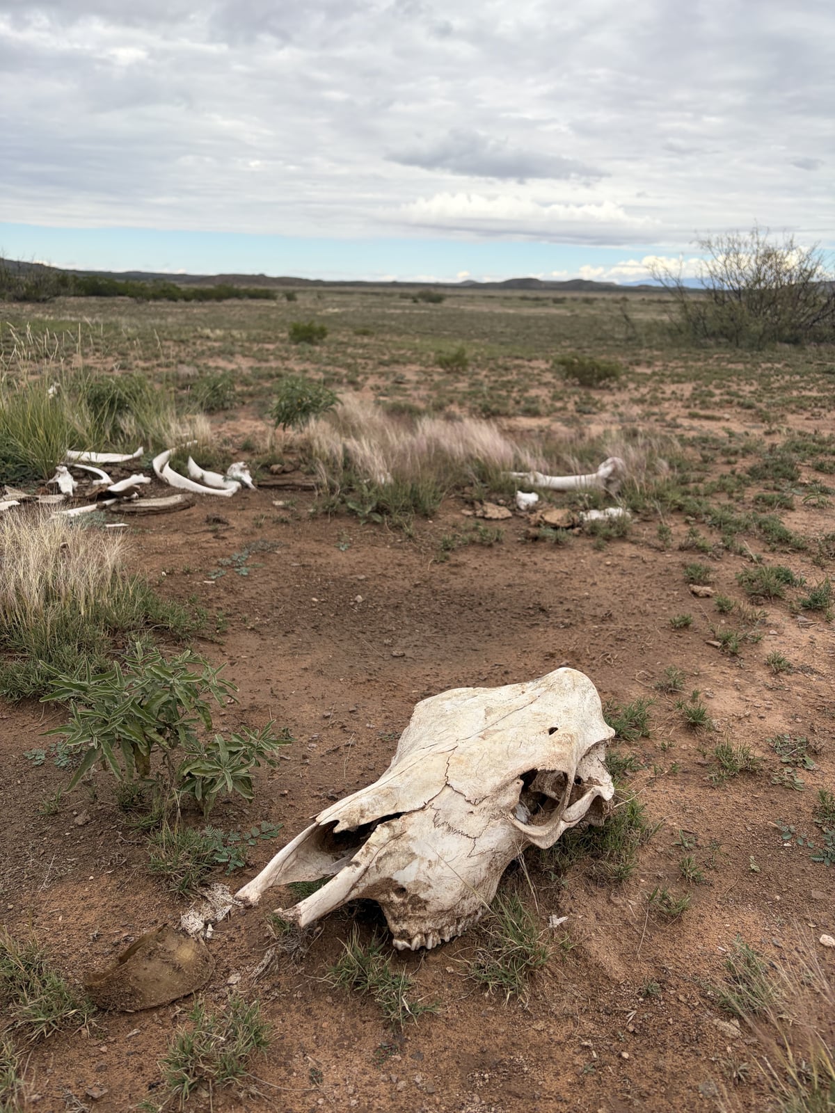
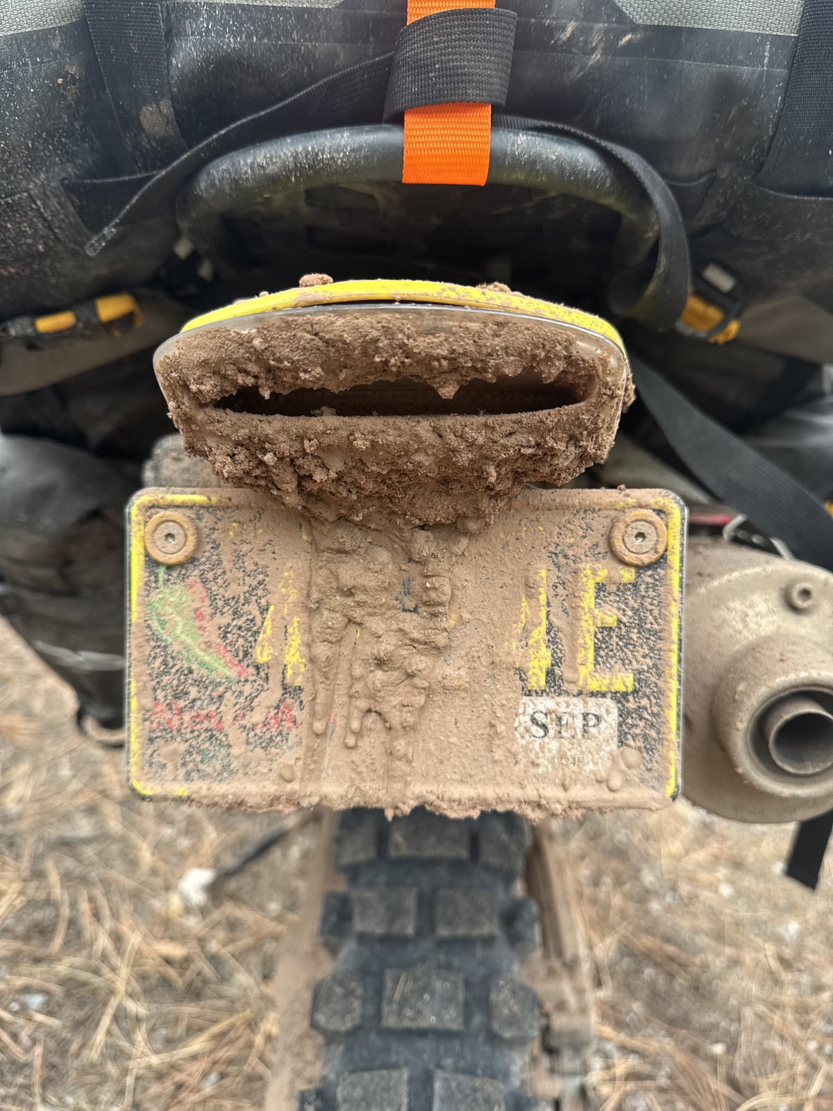
Then, on my return to where Will was waiting, a mud patch ate my front tire and I fell over (fortunately at low speed.) I couldn’t get the bike up with the bags and a nearly full tank of gas, and we had neglected to turn on the GMRS radios, so I waited a bit hoping Will would come down the trail when I didn’t come back promptly, then started unloading my gear when he didn’t materialize. About when I got my stuff unloaded, Will pulled up and helped me get the bike picked up. No harm done, just mud. But another example of the funky DMD2 navigation system...
The routes forward seemed dodgy and likely to include more mud, so we elected to retreat towards known-good (or at least less bad) roads, and backtracked to pavement. We followed little roads paralleling the Rio Grande until the Rio Salado intervened, and we had to jump on I-25. We poked our way along at 60 mph, our bikes' happy speed, keeping right to stay out of the way of the traffic exceeding the 75 mph speed limit, until we peeled off onto Hwy 60 and headed east. We reconnected near Abo Pass with Forest Road 422, which we had come down a week ago, and this time rode up it into the forest, back to Red Canyon campground for the night.
We made the most challenging campfire of the trip, as the wood was quite damp and stubborn, and the local humidity was very high as well. We got through quite a bit of wood, but not without constant effort to keep it going, fanning oxygen into the fire with Will's Ace Hardware gloves.
Mileage for the day: 121
Trip mileage: 910
Google maps Route (part 1) Route (part 2)